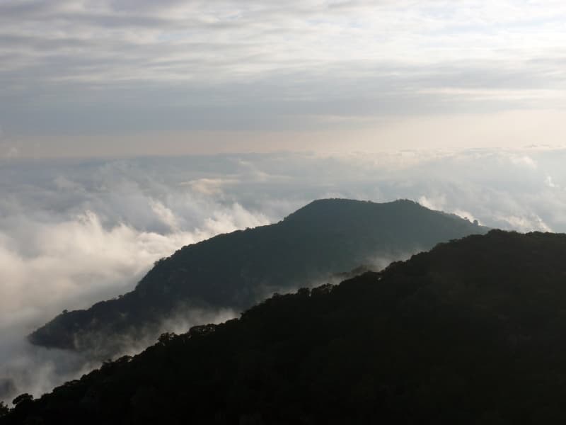
Ol Doinyo Orok — Maa for "black mountain" — rises directly above the Namanga border crossing, a forested peak that most travellers only ever see from the road as they pass through on the way to Amboseli or Tanzania. Few stop to actually climb it, which is part of its appeal for anyone looking for an off-circuit hike in southern Kenya.
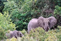
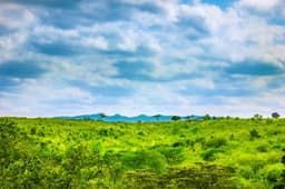
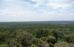
The mountain's slopes hold patches of montane forest unusual for the surrounding dry savannah landscape, supporting birdlife and vegetation that stand out sharply from the acacia scrub below. On clear days, the summit area offers views across the border region toward the plains around Amboseli, and on the clearest days, a distant glimpse of Kilimanjaro's outline to the south.
Planning the hike
- Local guides from Namanga town are recommended and generally necessary to find the best routes up.
- The hike is a moderate full or half-day undertaking depending on the route and pace chosen.
- Water and sun protection are essential — cover is inconsistent between the forested and open sections.
- This is a genuinely under-visited hike; don't expect facilities or signage, and arrange logistics in advance through the town.
It's a good option for travellers with a spare day around a Namanga border crossing who want to see a different side of the area than the market and immigration queues — a quiet, rewarding detour most itineraries skip entirely.