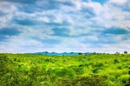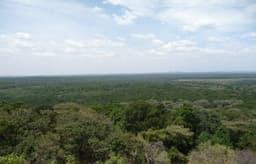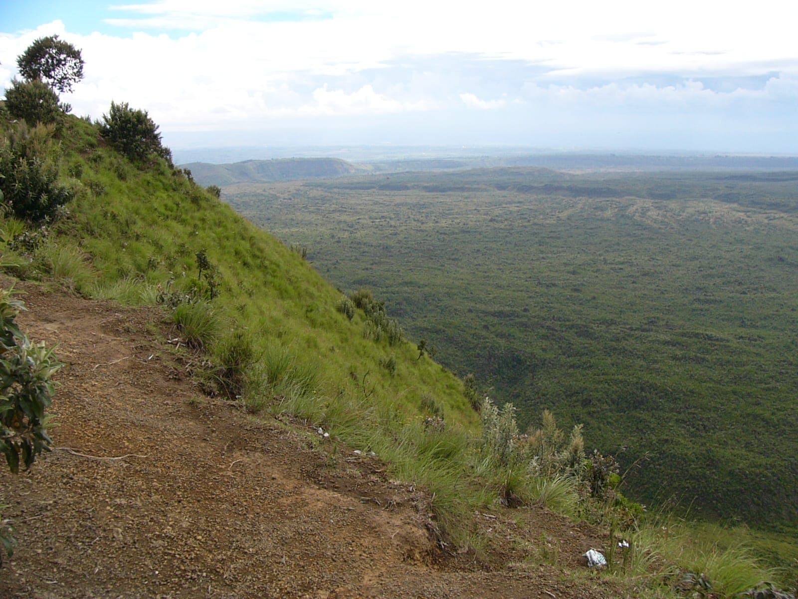
Menengai Crater, just north of Nakuru town, is one of the largest calderas in the world, formed when the volcano's summit collapsed thousands of years ago after a catastrophic eruption. The crater floor spans roughly 90 square kilometres and drops nearly 500 metres below the rim — a scale that's hard to appreciate until you're standing at the edge looking down at a forested basin dotted with fumaroles still venting geothermal steam.
Unlike Longonot to the south, Menengai requires very little physical effort to enjoy: a rough road leads most of the way to viewpoints along the rim, and from there it's a short, flat walk to the best lookout points. Local legend holds that the crater was the site of a decisive battle in Maasai and Kikuyu oral history, and it remains a place with real cultural weight for surrounding communities, not just a scenic stop.
What you'll see
- Sweeping views over Nakuru town, Lake Nakuru, and the Rift Valley floor beyond.
- Visible steam vents from the geothermal field that now powers part of Kenya's electricity grid.
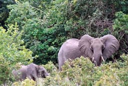
- Occasional buffalo and hyena sign in the crater's forested interior, though the walk stays along the safer rim.
It's an easy add-on to a Lake Nakuru safari — allow half a day including the drive up from town — and a good option if you want Rift Valley views without committing to a full mountain hike.